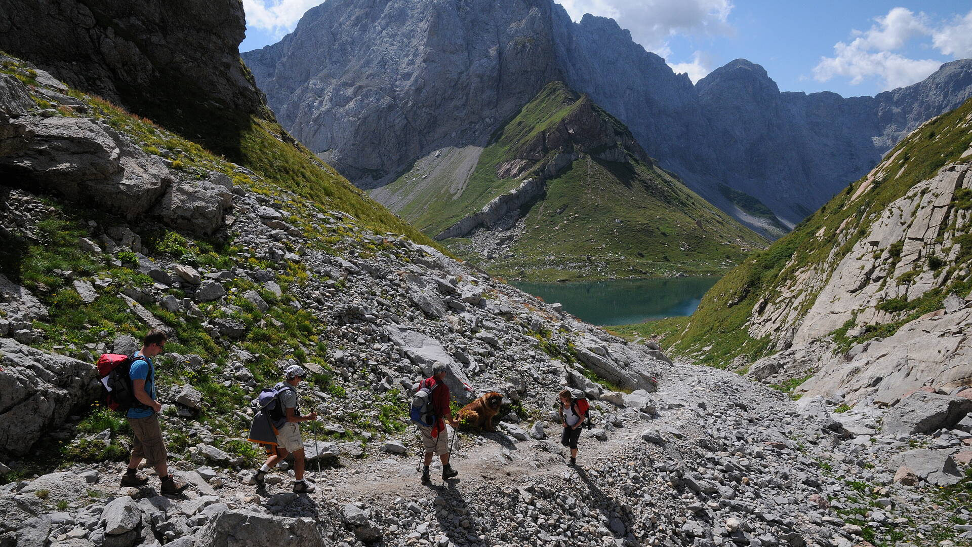
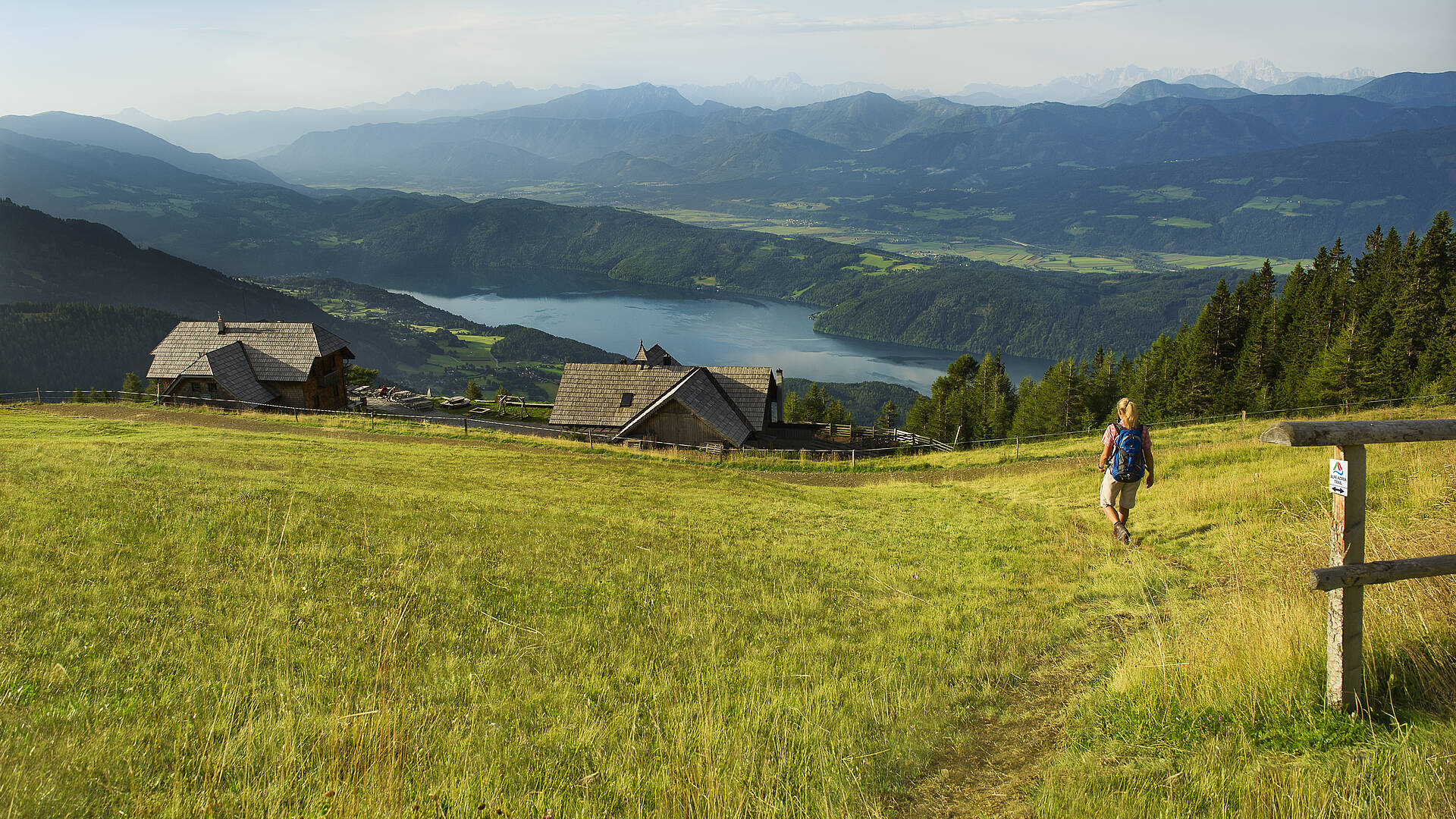
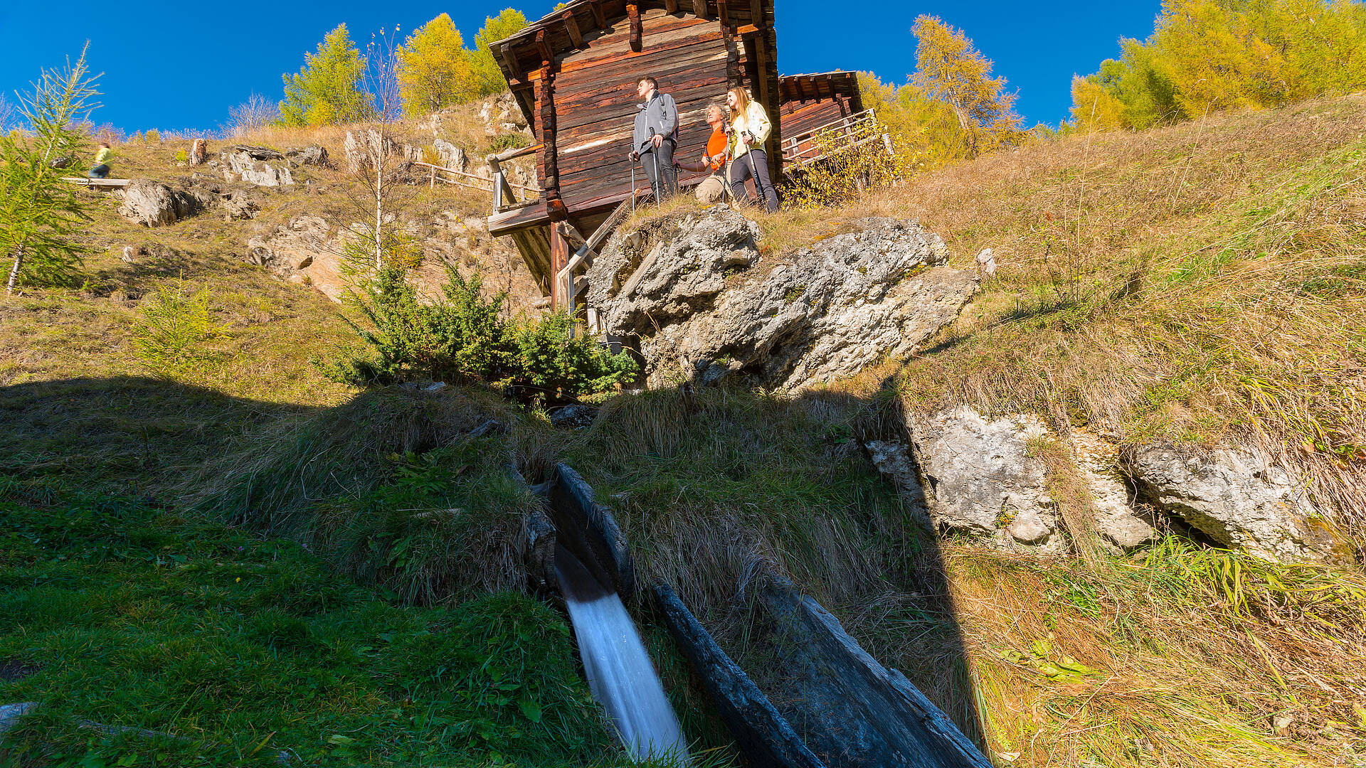
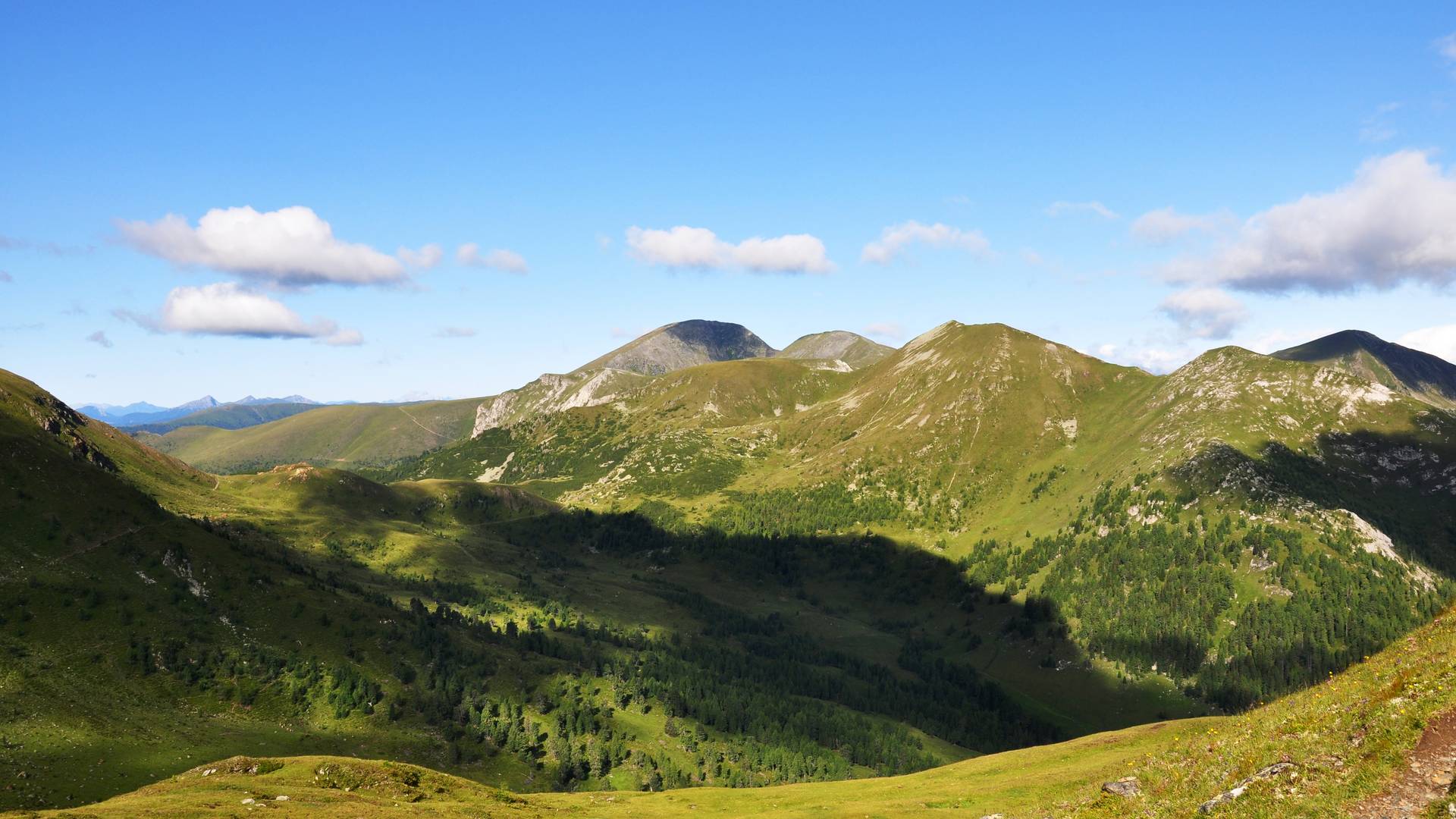
In Carinthia, Austria’s southernmost state, hikers are rewarded with breathtaking nature, a mild climate and ideal trails at all altitudes. Depending on inclination, mood, demand and conditions, signposted tours that create the lovely conditions that lead to unforgettable experiences in nature are waiting across the state. Sign number one in Carinthian hiking country is the Alpe-Adria Trail; the trail contains 43 stages and runs for over 750 kilometres from the Grossglockner in Carinthia through Slovenia, ending at the Adriatic Sea near Trieste.
- Accommodatie
zoeken - Weer
- Kaart
- Contact
- Blocnote In uw persoonlijke favorietenlijst kunt u verschillende aanbiedingen opslaan.
Alpe-Adria-Trail
Hikers seeking the exceptional will find it on the Alpe-Adria Trail. The trail links three countries – Carinthia in Austria, Slovenia and Italy – in 43 stages of 20km each. Since the stages can be hiked individually or combined in different variations, each hiker sets a personal distance for themselves. The Alpe-Adria Trail Booking Centre can help with organising the desired customised tour between the individual stages, which are signposted throughout.
Austria
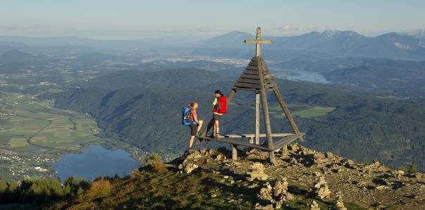
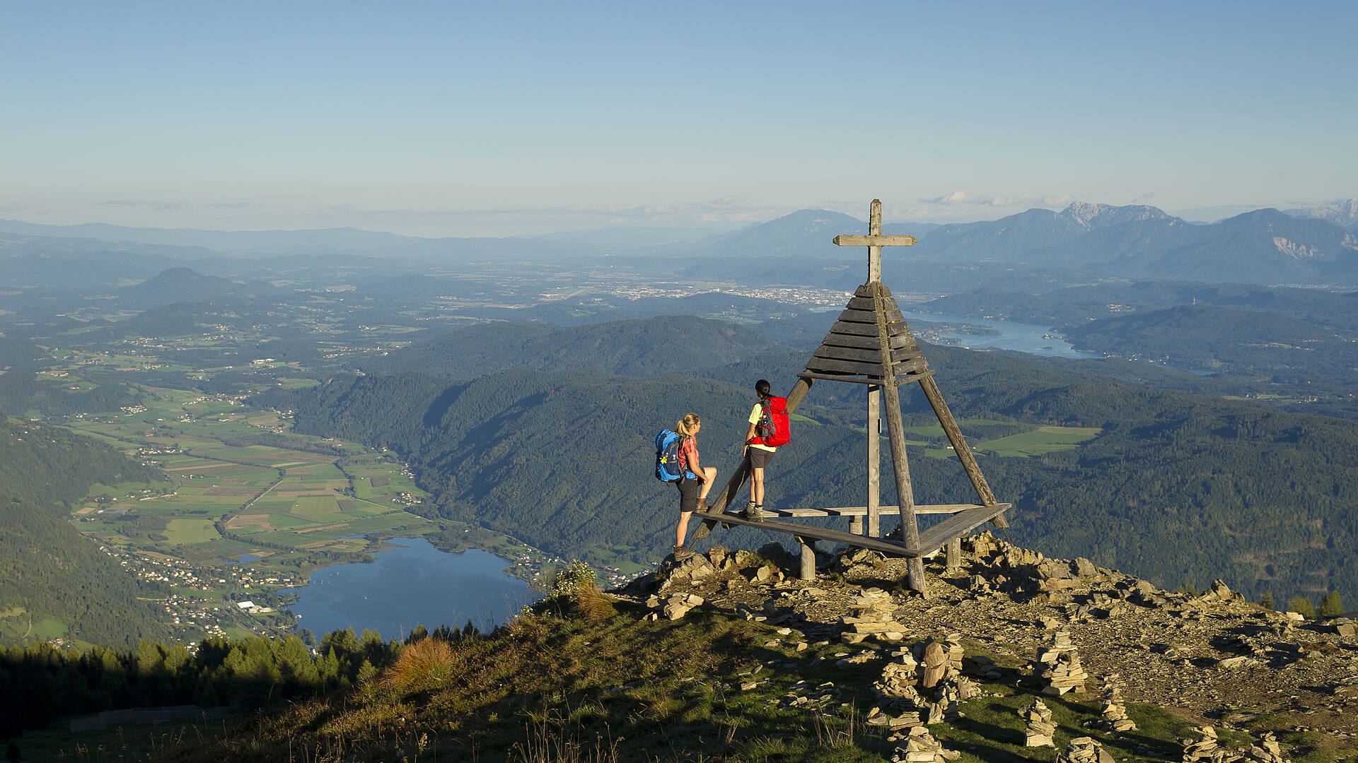
Course: the trail begins near the largest glacier in the Eastern Alps, the Pasterze, at Kaiser Franz Josefs Höhe and leads through the Mölltal Valley to the artists’ village of Gmünd. It leads over the impressive Millstätter Alpe Mountains and through the Nockberge Biosphere Park with its spa town of Bad Kleinkirchheim to Arriach, the geographical centre of Carinthia. Hikers reach Lake Ossiacher See via Gerlitzen Alpe Mountain and then arrive at the Baumgartner Höhe near Lake Faaker See via Velden am Wörthersee.
Slovenia
The next stages of the Alpe-Adria Trail go through the Alpine Ski World Cup site of Kranjska Gora, along the turquoise Soča River and across Triglav National Park in the heart of the mysterious Julian Alps. Hikers first cross the border into Italy via the Kolovrat mountain range and then proceed westward to the tradition-steeped city of Cividale del Friuli.
Italy
They reach the sometimes rough Karst region landscape via the charming wine-growing districts of Colli Orientali del Friuli and Goriška Brda before first reaching the sea in Duino. The idyllic harbour town of Muggia, the end point of the Alpe-Adria Trail, lies just a few kilometres further on; a side trip from there will take hikers to the famous Lipica stud farm.
Detailed info: www.alpe-adria-trail.com
Breathtaking views and circular trails
The ‘Sonnenwinkel’ region of Carinthia
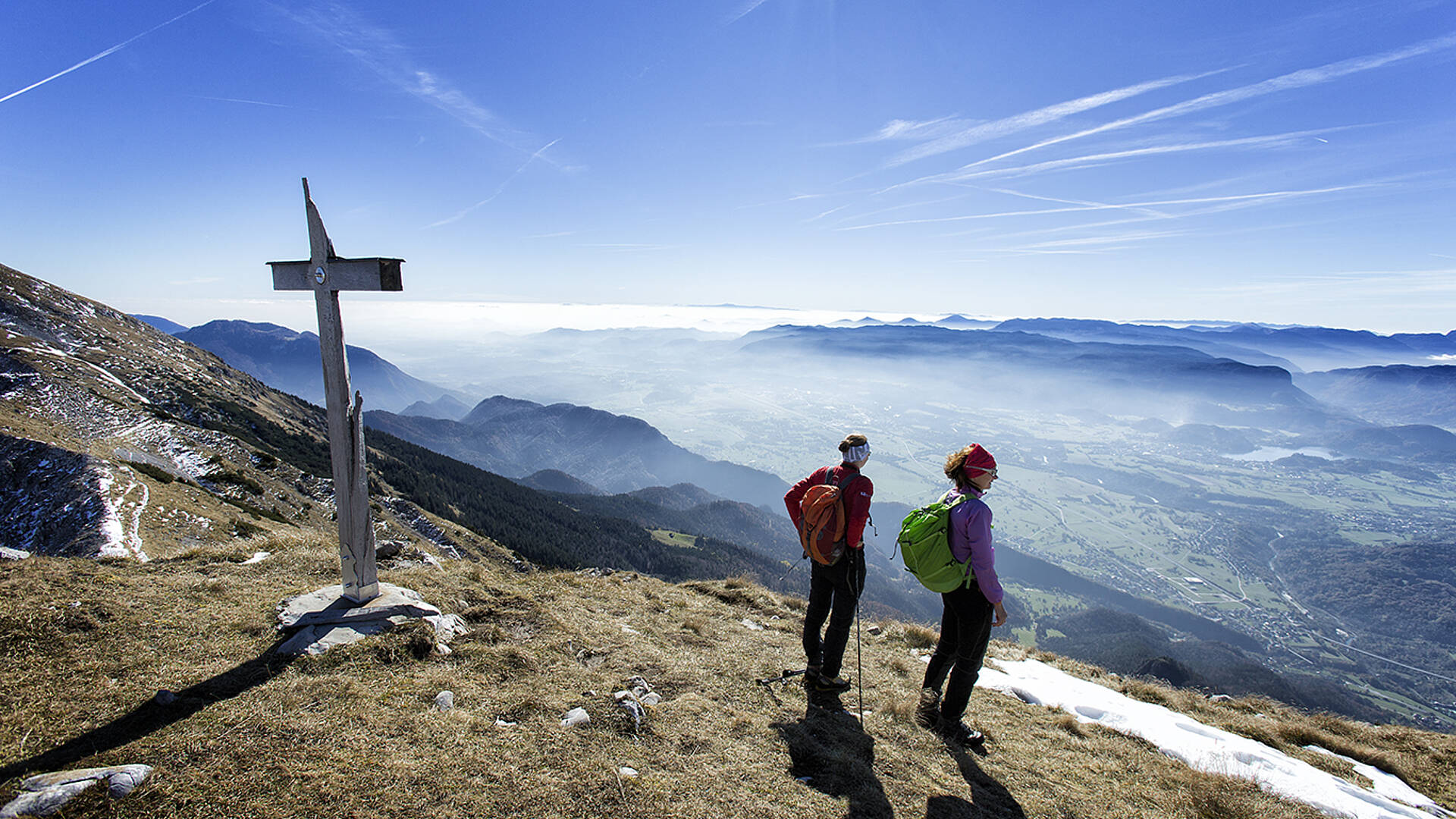
In the ‘Sonnenwinkel’ region of Carinthia, the Southern Alps Panoramic Trail stretches over the Rosental Valley, Lake Klopeiner See / Southern Carinthia and Lavanttal Valley regions. Nature lovers can discover the Karavankas and the fantastic panoramic view of the bordering regions of Carinthia and Slovenia on over 200 kilometres and 17 day-long stages. www.sonnenwinkel-kaernten.at
Lake Woerthersee, Three Country Hike...
The 55-kilometre Circular Trail around Lake Wörthersee also offers a lovely view of the Karavankas. Hikers can immerse themselves in the tranquil summit world of the Kreuzeck Group on the Kreuzeck High Road in the Oberdrautal Valley Outdoor Park. The summit of Ederplan Mountain offers a view of 30 three-thousanders and 66 churches. The tri-border area also offers diverse hiking options. Starting from the Dreiländer-Jet summit station, you can reach the intersection of Austria, Italy and Slovenia in about 35 minutes. The ‘Three Country Hike’, a tour of about three hours, offers the best experience. www.woerthersee.com
Villach Region
The Dobratsch represents not only the largest landslide area of the Eastern Alps and thus the living space of rare plants and animals, but it is also the gravitational centre of a region that is steeped in history and stands at the intersection of three cultures. It is surrounded by a lively valley landscape whose unconventional character and unusual atmosphere are best revealed on foot. The Dobratsch Circular Route links so many different natural areas and cultural landscapes within around 70 kilometres that it could hardly be any more diverse. www.region-villach.at
Searching for fossils and garnets
The Carnic High Route
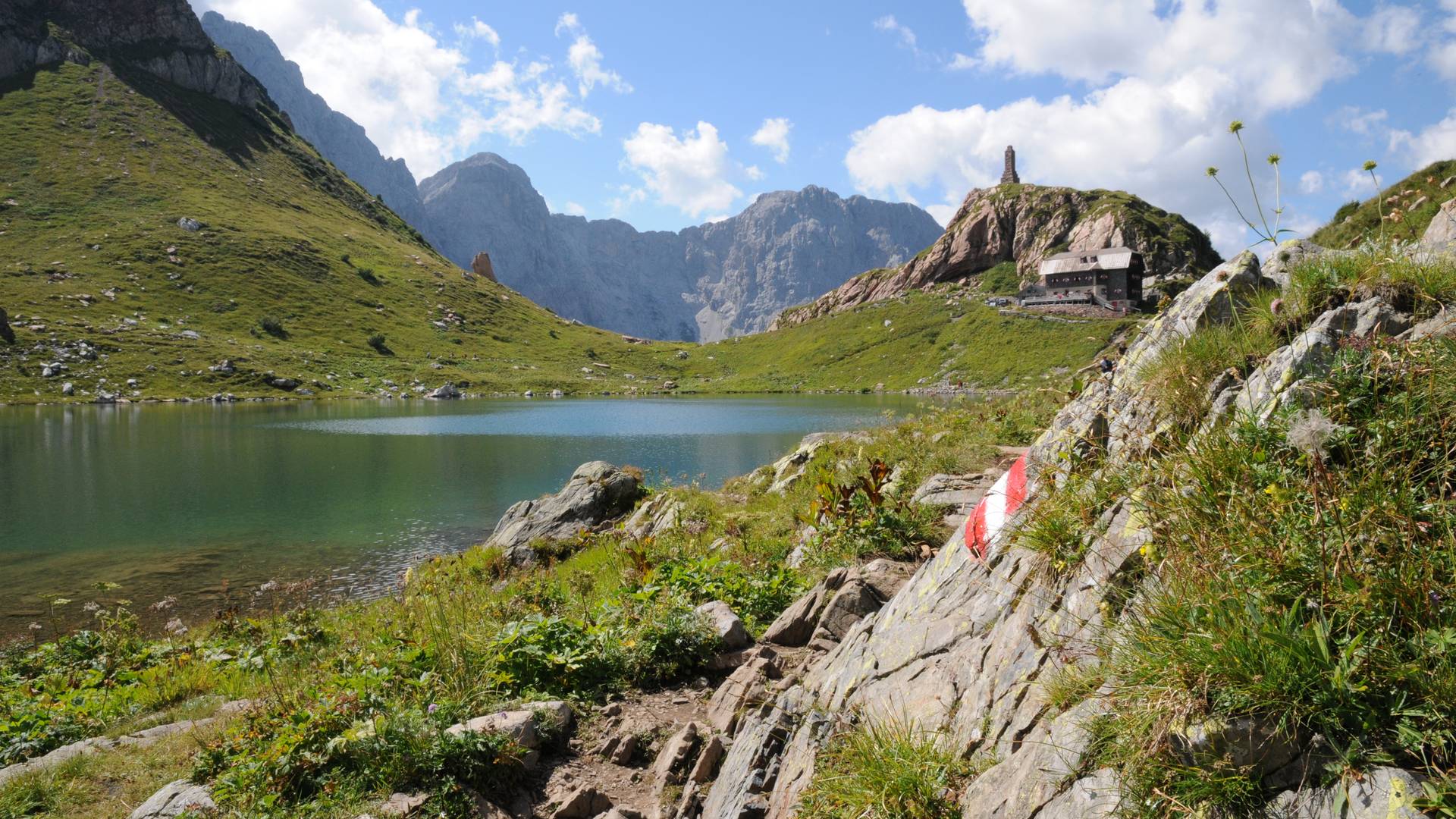
The Carnic High Route in the Nassfeld / Lake Pressegger See / Lesachtal Valley / Lake Weissensee region stretches over 155 kilometres along the border between Carinthia and Italy. Hikers can discover 500 million years of the Earth’s history here and with a little luck, they can even find well-preserved fossils. Info: www.karnischer-hoehenweg.at , www.nlw.at
Lake Millstätter See High Route
Garnets and other treasures, such as the seven-trunked spruce – the ‘Tree Sanctuary’ – or the ‘Lochvisierstein Menhir’ can be found at Lake Millstätter See. The 200-kilometre Lake Millstätter See High Route leads to mystical places here. The road offers access to the mountain world around the lake with tours that are easy in places and challenging in others and provide a great opportunity for day trips. In eight stages with numerous secondary routes, it leads from the world of the three-thousanders to the west of Lake Millstätter See over the Millstätter Alpe Mountains and Goldeck to the Weltenberg Mirnock in the east.
‘Love Trail / Sentiero dell‘ Amore’
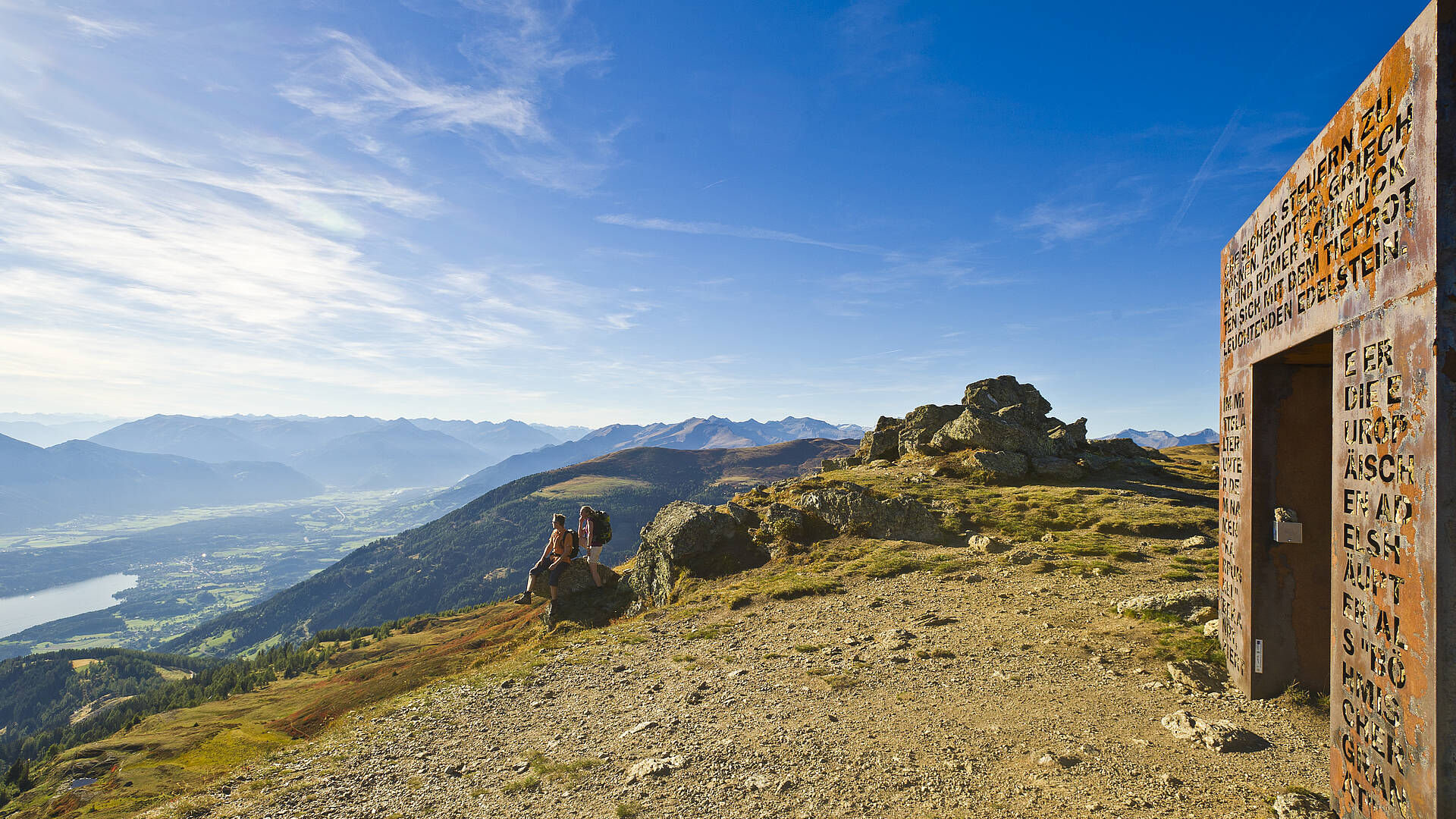
Lake Millstätter See has continued to expand its hiking trail options under the slogan ‘Time for Two’ (‘Zeit zu Zweit’) with the new ‘Love Trail / Sentiero dell‘ Amore’. Since summer 2015, seven places between Alexanderhütte and Granattor have invited visitors to contemplate love and all of its many facets. At each station along the three-hour hiking trail, there is a bench built in the workshop of Paul Warum and a book with a question that invites visitors to record their personal thoughts on the topics of love and partnership. The topic is specified, and the hiker contributes a piece of the story of the trail. The guests enter into a sensual and emotional dialogue with nature. Info: www.millstaettersee.com
Research nature, scale glaciers and search for gold miners
Hohe Tauern National Park
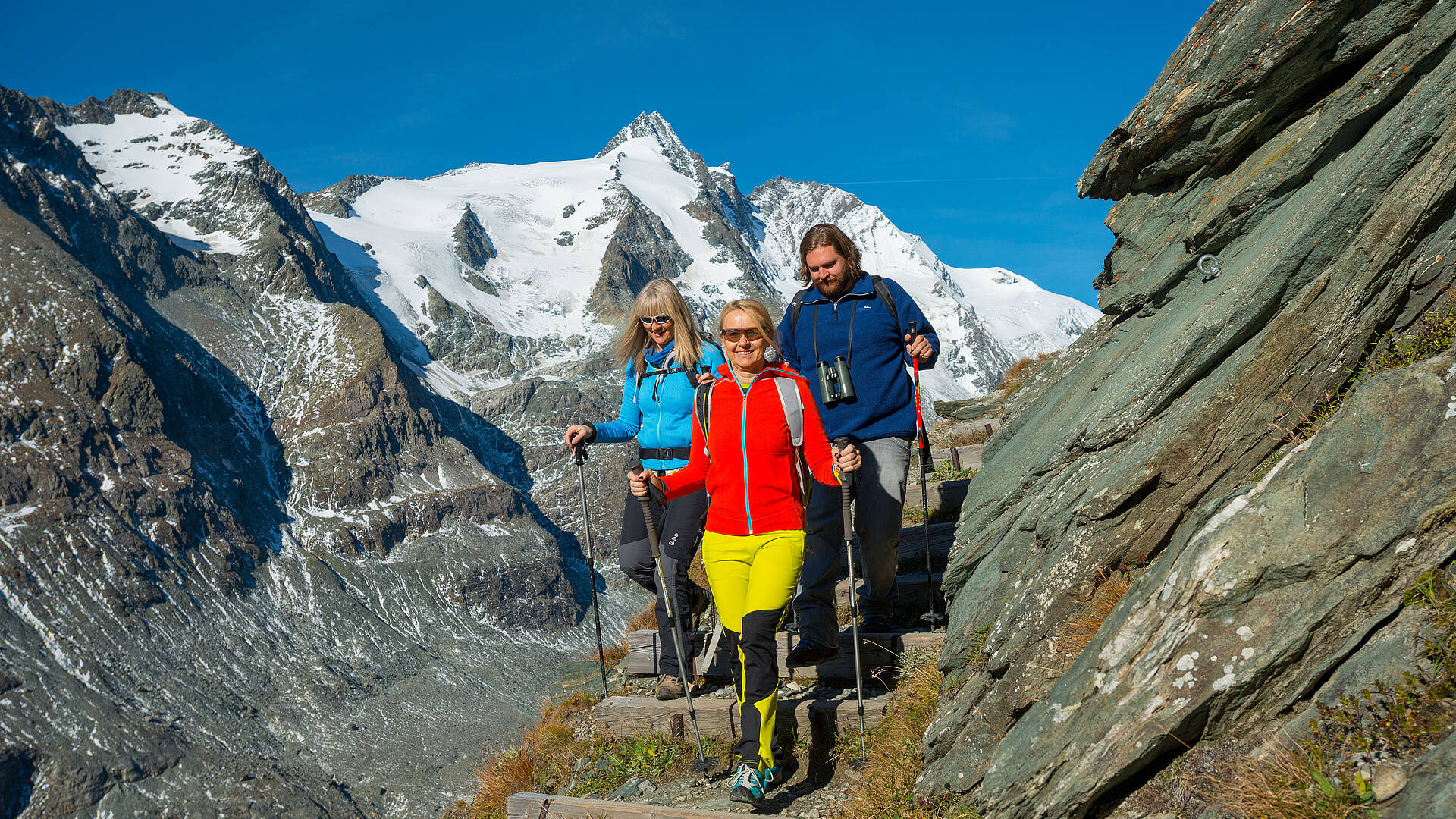
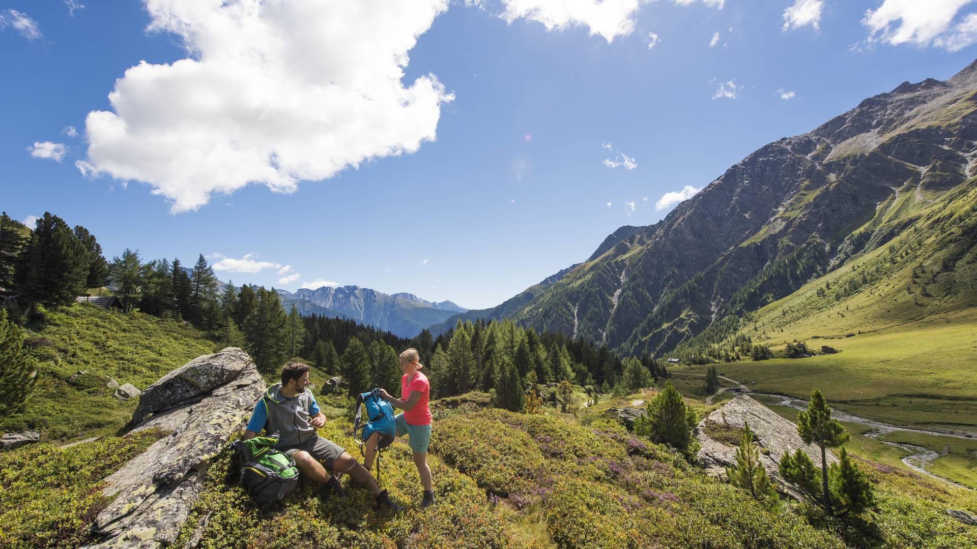
Hohe Tauern National Park, the first and largest national park in Austria, is especially popular with hikers. Not only can you hike on your own here, but you can also be accompanied on the trail by an experienced National Park ranger. One of these guided tours leads you to the old Bergstollen mine in the Zirknitztal Valley, a large, high alpine valley with quaint pine forests. You are following in the traces of the gold miners here. The fascination of ‘perpetual ice’ waits on the Pasterze, the largest glacier of the Eastern Alps, at the foot of the highest mountain in Austria, the Grossglockner. The tour on the glacier trail is described as fascinating and incomparably spectacular. Other hiking tours are devoted to watching ibex and red deer in the mystical Seebachtal Valley. Hohe Tauern National Park offers a special programme for children and youth to search, discover and have fun. Info: www.nationalpark-hohetauern.at
Nockberge Biosphere Park
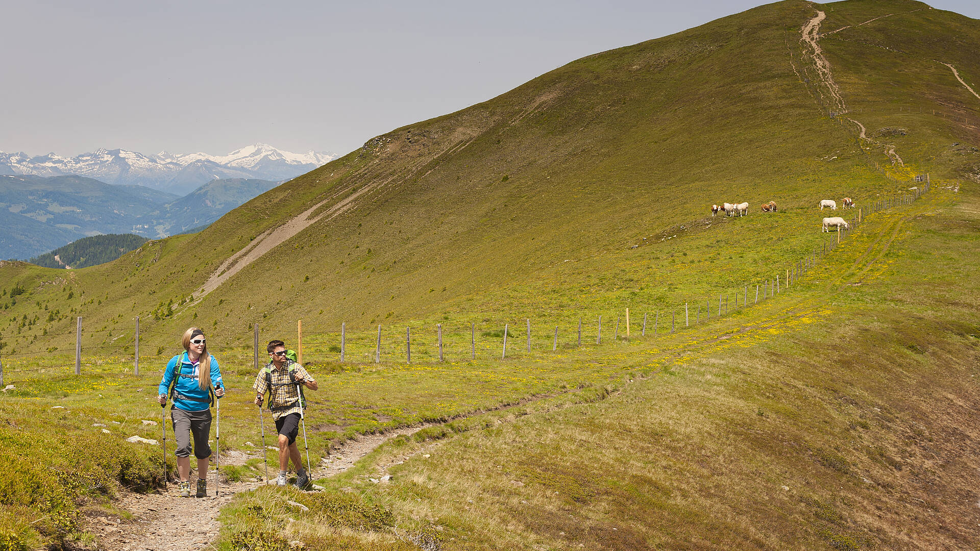
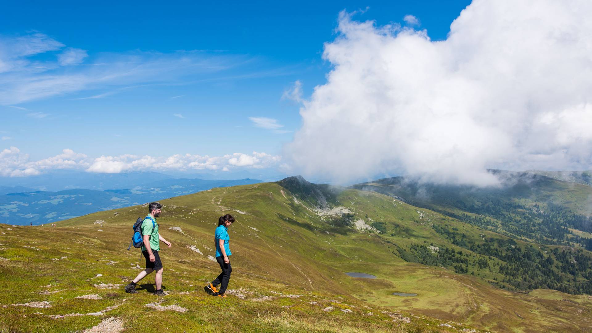
Speik: the all-rounder in the Nockberge Biosphere Park There is another natural treasure to discover in the Nockberge Biosphere Park aside from the fragrant Swiss pine. Hikers can search for speik, or Alpine Valerian on their chosen hiking trails. Alpine Valerian has valuable and coveted ingredients that have elevated it to a medicinal and aromatic plant. The fragrance of this outwardly unremarkable plant is particularly intense in July and August. An extended hike over the gentle, fragrant Nockberge Mountains simultaneously invigorates and soothes. There are wooden troughs outside of eleven rustic alpine chalets for relaxing speik foot baths. Info: www.badkleinkirchheim.at , www.biosphaerenparknockberge.at
You might also be interested in...
